Jay Peak Ski Map
Each piece is printed using the highest-quality materials and printing methods:
- Paper type: 100% acid-free FSC - certified archival paper
- Paper thickness: 230gsm
- Printing: Canon 12 color giclee printing
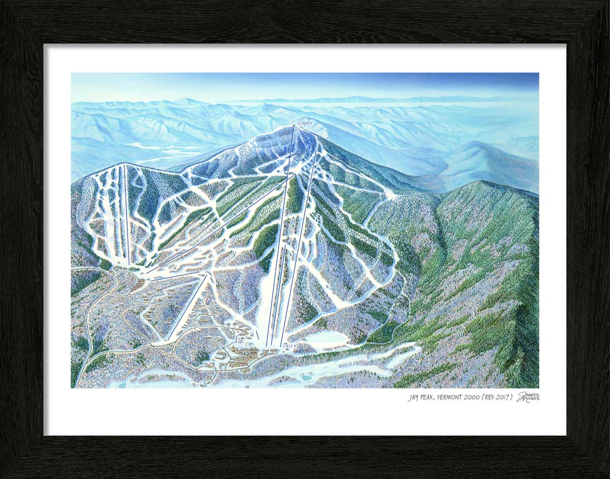
Framing
Our custom black wooden print frames feature a deep, squared profile to showcase Niehues’ timeless work. Frames feature a EV filtering non-glare acrylic front plus acid-free foamcore backing.
FRAME WIDTHS:
- All prints: 1-1/4" inches wide, 13/16" deep
Canvas
Available as a large size gallery canvas. Each canvas is hand stretched over an internal frame and comes ready to hang with a pre-installed hanging wire.
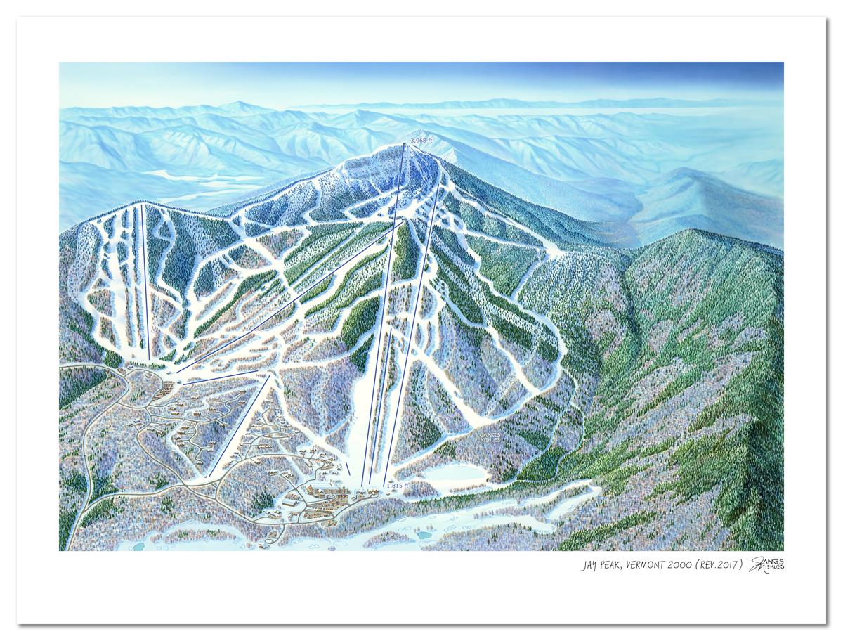
Jay Peak Resort In Jay, Vermont.
Painted in 2000, revised in 2017
If you live on the East Coast and you like skiing powder, Jay Peak is probably already on your radar. And if it’s not, it definitely should be. This Vermont ski resort averages the most snowfall each winter of any resort east of the Mississippi River and has the terrain and vertical relief to take full advantage of that snow. Jay Peak’s average of 359 inches of snow per year falls on 385 acres of skiable terrain, including over a hundred acres of gladed tree skiing. And laps at Jay are long, with over two thousand vertical feet from the highest lift to the base area. So if you’re craving the big mountain experience but don’t want to travel too far from home, Jay Peak has you covered.
Timeless art for your home
Each piece is printed using the highest-quality materials and printing methods:
- Paper type: 100% acid-free FSC-certified archival paper
- Paper thickness: 230gsm
- Printing: Canon 12 color giclee printing
Finishing touches
Framing
Our custom black wooden print frames feature a deep, squared profile to showcase Niehues’ timeless work. Frames feature a EV filtering non-glare acrylic front plus acid-free foamcore backing.
FRAME WIDTHS:
- All prints: 1-1/4" inches wide, 13/16" deep
Canvas
Available as a large size gallery canvas. Each canvas is hand stretched over an internal frame and comes ready to hang with a pre-installed hanging wire.
The legendary James Niehues
If you are a skier or snowboarder, there is a good chance James Niehues has been your mountain guide. Throughout his 30 year career he has worked at the smallest hills and the most expansive resorts in North America. He has left his mark in South America, Australia, Asia and Europe too. And even if you have never shared a bottomless powder day with him, he has always been close by.